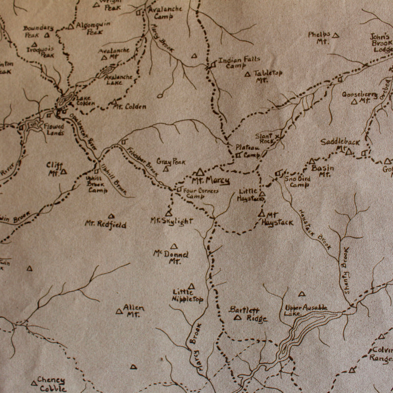
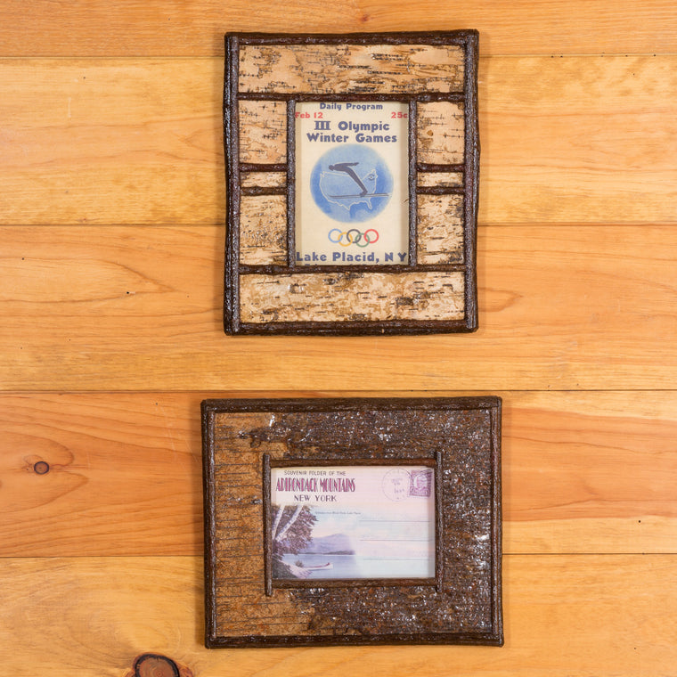
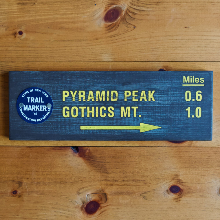
Mt. Marcy Trail Map Wall Chart
Description
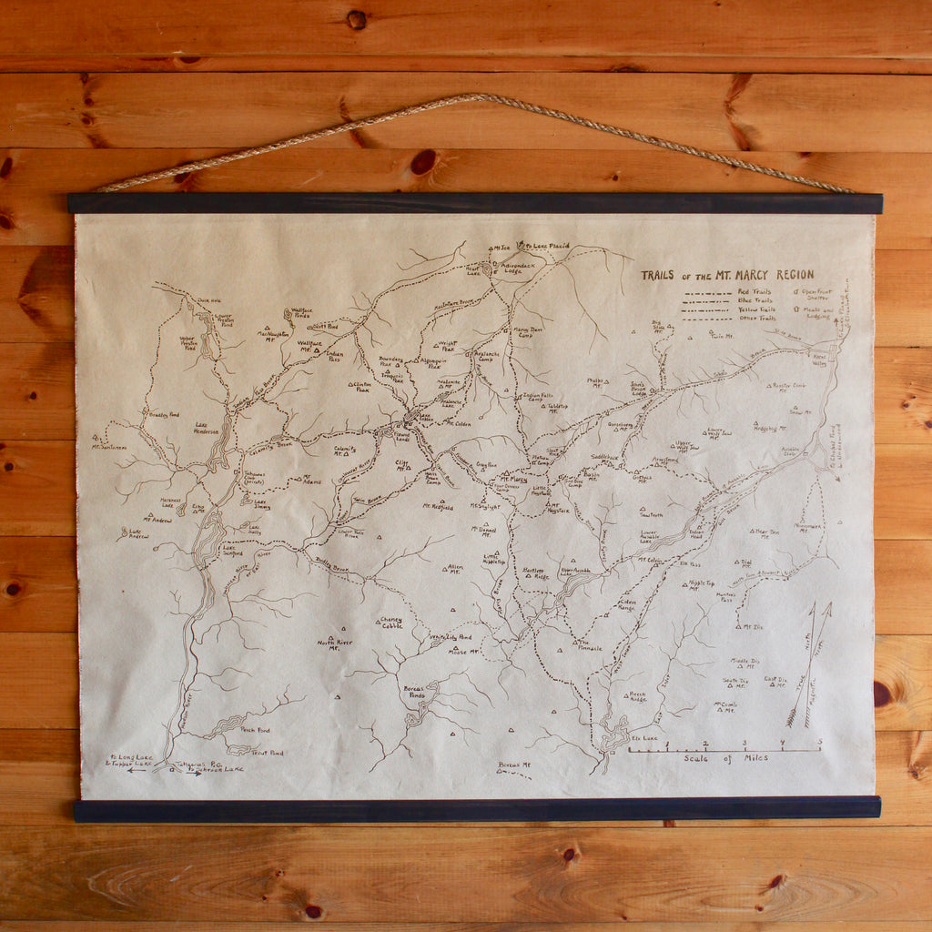
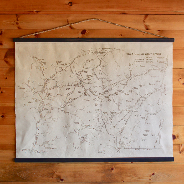
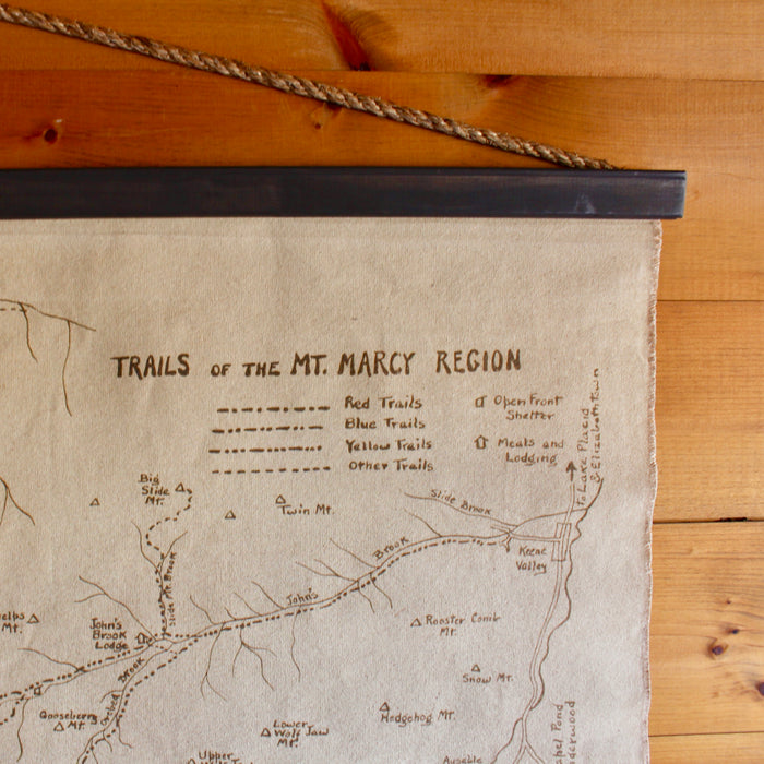
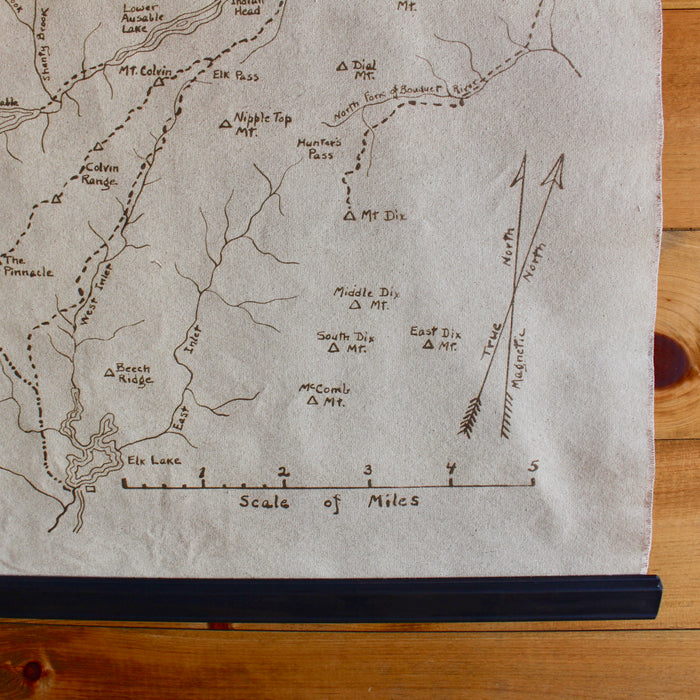
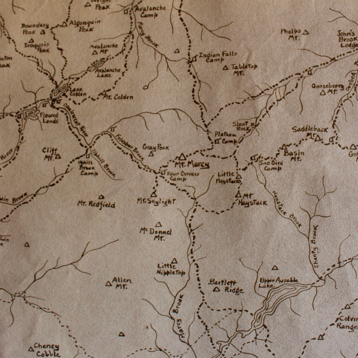
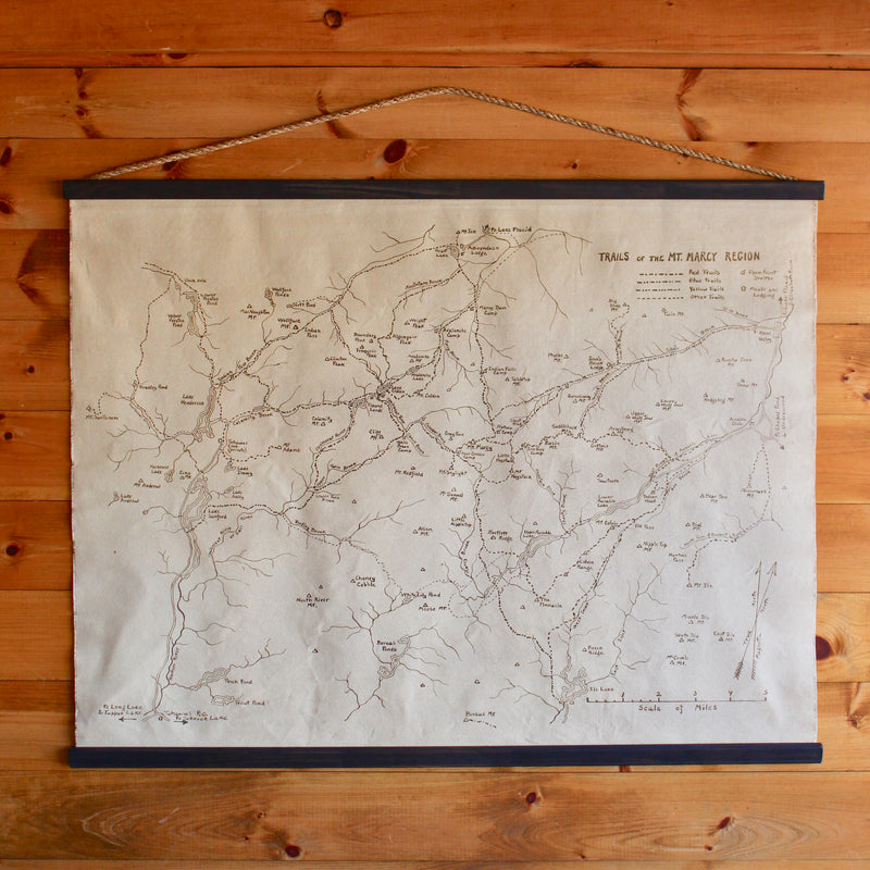
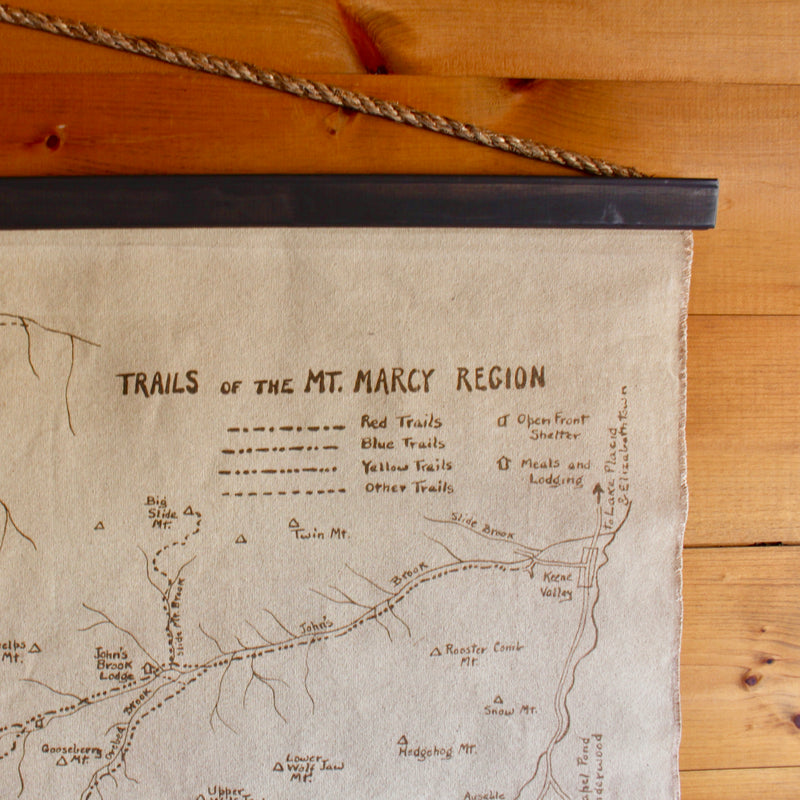
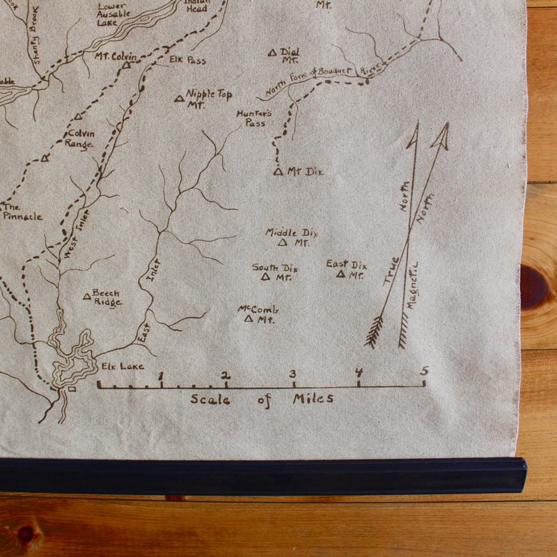
This wall chart, originally drafted by hand in the 1920s, depicts the numerous trails surrounding Mt. Marcy, the tallest of the Adirondack High Peaks.
Made in the U.S.A.
Dimensions
Dimensions are approximate.
Small: 37"W x 34"H (to top of rope)
Medium: 57"W x 50.5"H (to top of rope)
Shipping
Shipping
For information on shipping, please visit our Shipping FAQs page.
Returns
For information on returns, please visit our Returns FAQs page.

