Adirondack Map Wall Chart
Description
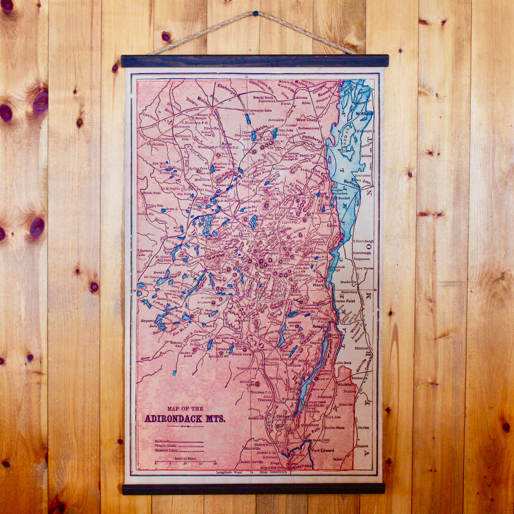
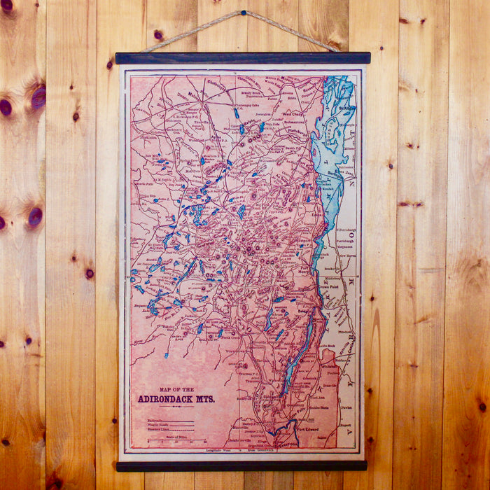
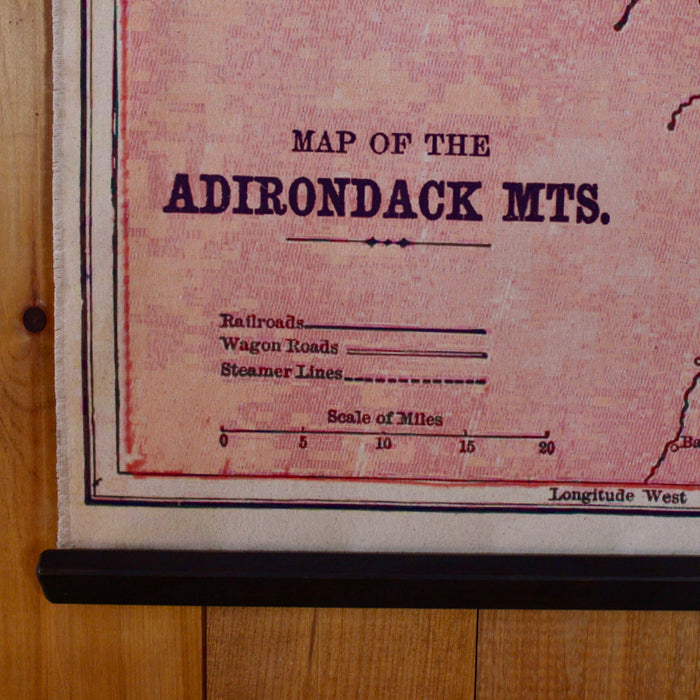
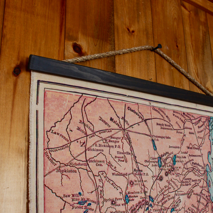
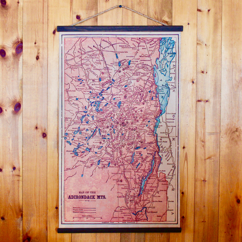
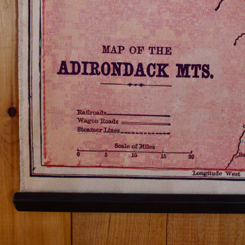
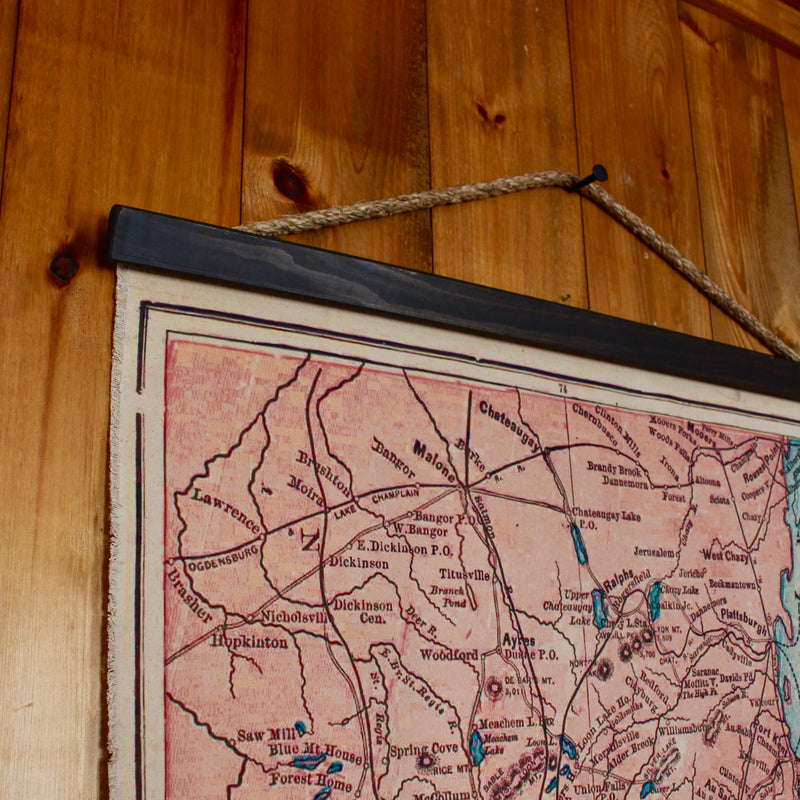
We made this large canvas wall chart of the Adirondack Mountains from an old 1800s map. The chart shows the paths of railroad systems, steamer lines, and wagon roads in the Adirondacks during the 1800s.
Made in the U.S.A.
Dimensions
Dimensions are approximate.
Small: 24.5"W x 42"H (to top of rope)
Medium: 34.5"W x 62"H (to top of rope)
Large: 48.5"W x 83"H (to top of rope)
Shipping
Shipping
For information on shipping, please visit our Shipping FAQs page.
Returns
For information on returns, please visit our Returns FAQs page.

